the piers, hudson river park and our waterfront
New York City's piers were once a hive of activity of the maritime kind. Lining the shores of the Hudson and East Rivers and New York Harbor in endless rows, they jutted out into the water to allow passenger ships, cargo-bearing goliaths, small vessels, and tons of other crafts to come and go, bringing both vital supplies and population-booming immigrants and tourists that keep the city ticking. Sure, there was an element of recreation, but their presence was an economic necessity.
Today, what's left ranges from decayed remnants of stumpy pilings to completely renovated complexes like Chelsea Piers. Now that the city's business life no longer hinges on all things nautical, the reinvention and revitalization of our waterfront is a key goal for everyone from politicians to urban planners to joggers. Kayakers, sunbathers, soccer players, and heliports have replaced the industrial piers of yore.
New York City's piers and wharves were the most valuable assets of the New York City government in the 1860s. Nevertheless, by that time they had been in such a poor state of repair as to drive steamboat companies to other nearby cities such as Hoboken and Jersey City. By the 1980s, Manhattan's Hudson River waterfront had become deindustrialized and derelict.
the piers through a camera’s historic lens
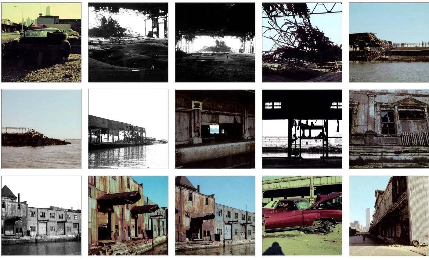
The Greenwich Village Society for Historic Preservation has a collection of archival images by photographer, Jack Dowling, that documents the crumbling piers of Greenwich Village in the 1970s.
As described in an article featuring these photos:
“The fetid smell of rotted wood and the Hudson River nearly rises from these photos of the sorry state of Greenwich Village’s collapsing piers in the 1970s. The contrast is stark between the neighborhood’s disinvested, abandonment, pictured here, and its current culture of high rents and pricey coffee shops.
The Urban Lens: Abandonment and decay along the 1970s Greenwich Village waterfront | 6sqft
“The Greenwich Village waterfront underwent an incredible change in the era documented by Jack Dowling’s pictures,” according to Andrew Berman, the Executive Director of the Greenwich Village Society for Historic Preservation. In many ways, the waterfront, “encapsulated the decay and rebirth of New York City in the 1970s.” Industry had largely abandoned the Greenwich Village waterfront, and in late 1973, practically just outside Jack’s window, the West Side Highway collapsed at Gansevoort Street. This set in motion a series of events that included the closure and eventual demolition of the highway, the battle over the proposed Westway, the construction of Hudson River Park, and the transformation of the Greenwich Village waterfront into one of the most desirable pieces of real estate in New York.
Jack captured the Greenwich Village waterfront during the period right after the West Side Highway collapse, when the elevated roadway was closed, the waterfront foresaken and littered with abandoned cars, and the pier heads and sheds were rotting and beginning to collapse into the Hudson. The juxtaposition of this scene with the newly built World Trade Center rising in the distance is particularly striking. It was during this time of abandonment, decay, and neglect that a generation of artists flourished in the newly-opened adjacent Westbeth Center for the Arts, where Jack lived, a vibrant gay scene took hold along the waterfront, and a residential community first took root in the disused factories and warehouses along the waterfront. Jack captured a pivotal moment in New York’s evolution in the 1970s, when its decay and abandonment sewed the seeds of a creative flowering and rebirth in the years that followed.
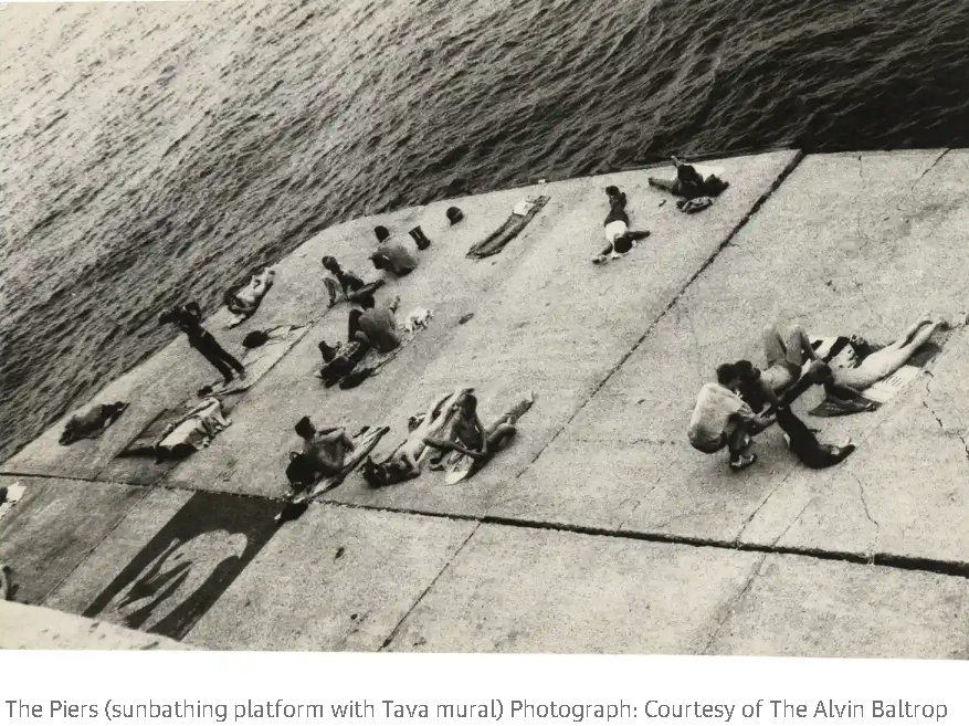
Another photographer, Alvin Baltrop also photographed the westside piers of Manhattan during the 1970s and 1980s during the time following the Stonewall riots and before the Aids crisis. He captured the images of the cultural revolution taking place along our piers.
According to Sergio Bessa, Bornx Museum Curator:
“It’s a different reality of what that area looked like in the 1970s and 1980s, compared to now. He documented a place where people could go to hook up and have sex in a public space. People say ‘that happened all the time,’ but not the extent as it did in the 1970s. In the wake of counterculture, the end of hippie culture, social norms were changing, and this was happening at a global scale.”
today’s waterfront, hudson river park
The Hudson River Park subsumed the piers on the Hudson River following its establishment in 1998.
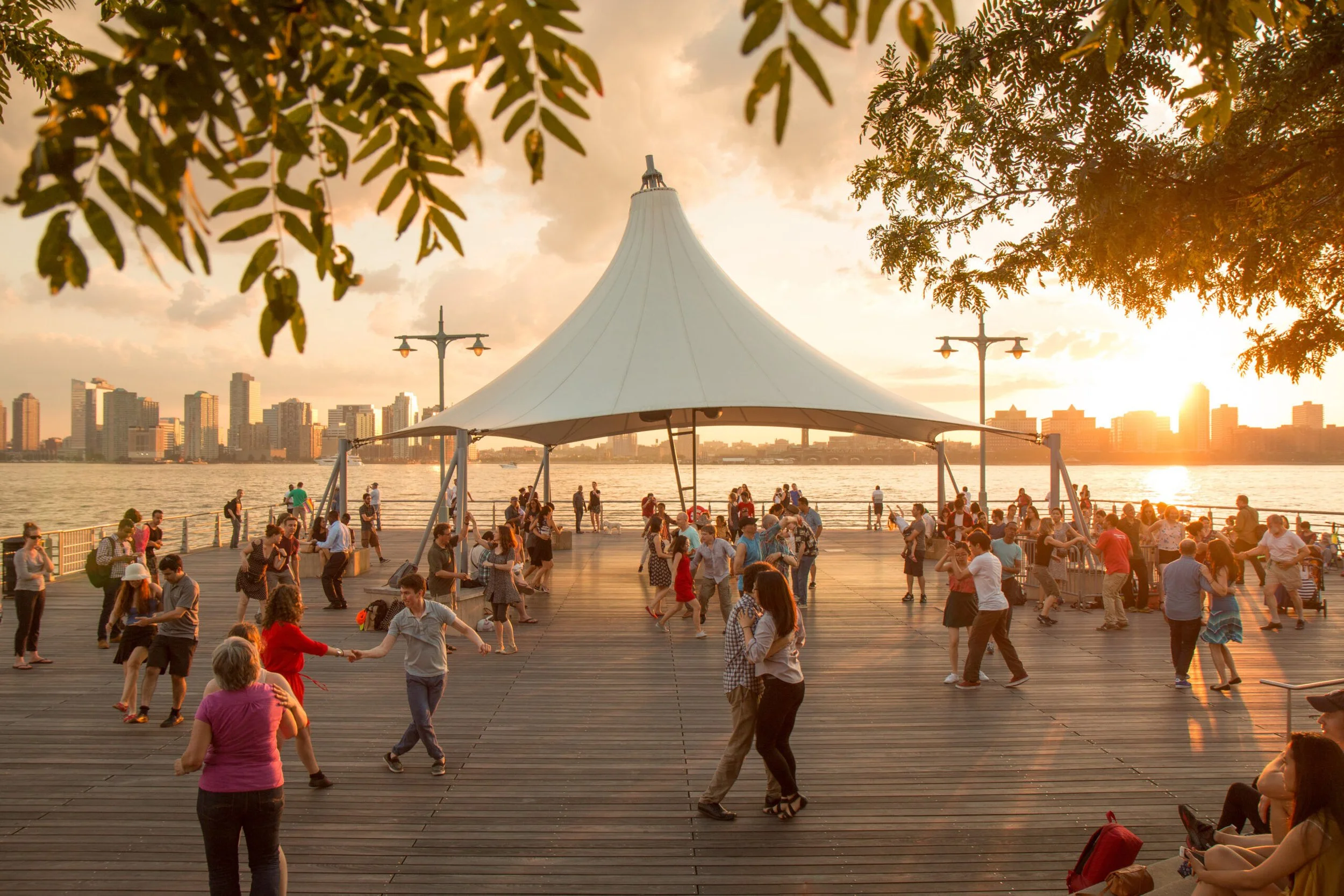
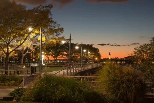
Today, Hudson River Park is a 550-acre public park that runs along four+ miles of waterfront on the west side of Manhattan. The Park’s recreational piers, distinctive upland areas and protected Estuarine Sanctuary provide millions of New Yorkers and visitors from around the world with a connection to the Hudson River and enjoyment running, walking, rowing, playing, dancing, relaxing and communing with friends, family and nature. There is no question that having this treasure outside our front door is one of the very special things about living at Riverbank South.
pier 45 - the green beach
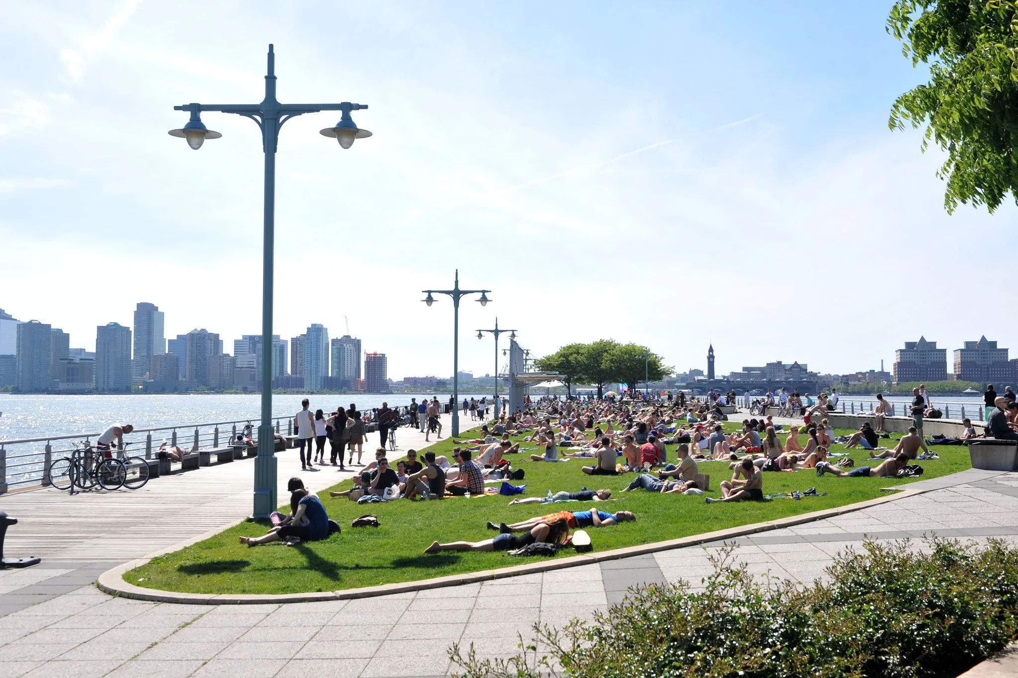
Countless New Yorkers head to this popular pier at the foot of Christopher Street in the warm months to catch some rays while lounging on a large, green lawn.
This pier features a promenade, artful shade structures, spray showers, seating areas, wood decking and an expansive grass lawn. Known as the green beach by day during the summer, Pier 45 hosts free Sunset on the Hudson concerts during the Park’s programming season.
pier 46 - activities & fun
This tree-lined pier is a retreat which boasts a large artificial turf lawn for casual exercise and play, plus raised seating areas and a pile field on the western end.
Located at the end of Charles Street, this pier has a turf lawn for unprogrammed recreation, such as playing Frisbee . The piles at the western end of the pier are being preserved because of their value for fish habitat.
pier 48 - where art and nature coalesce
The remains of Pier 48 at West 11th Street are right opposite our building. The pier was used until the 1950s by the Erie Lackawanna Railroad.
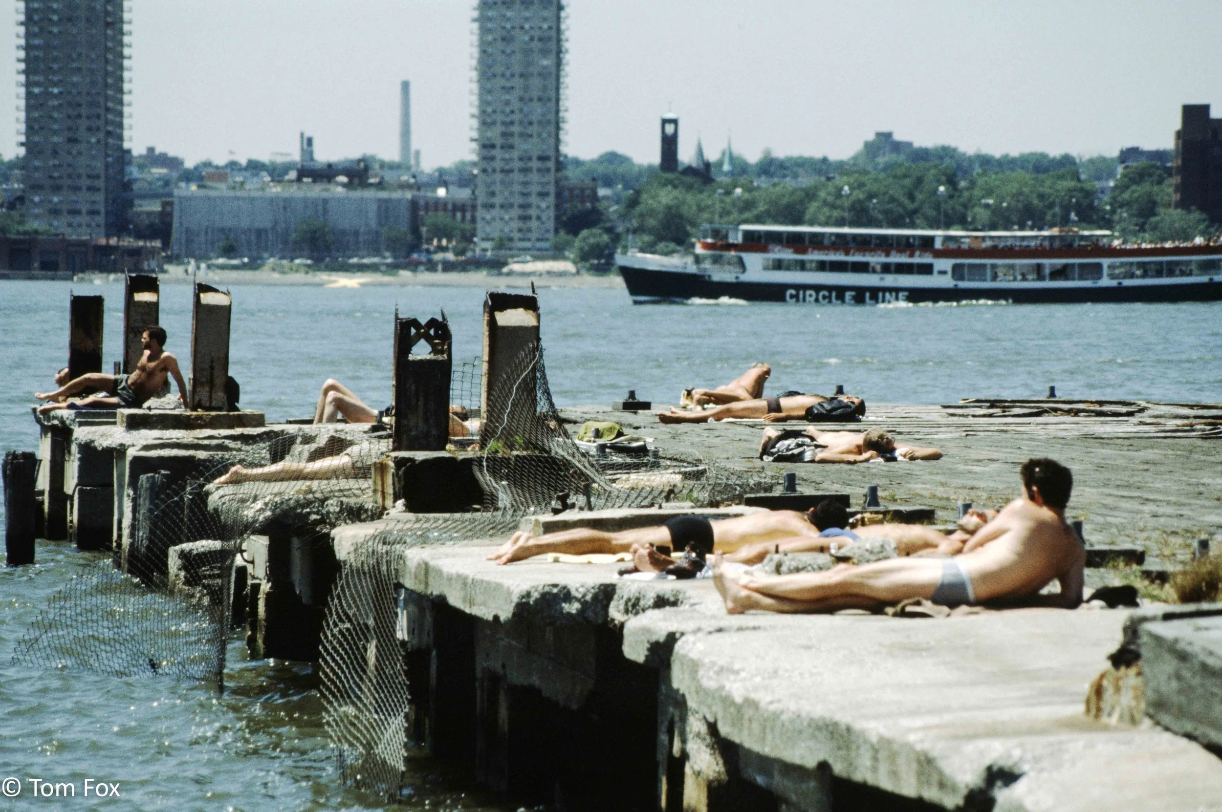
In the 1970s, Pier 48 was an abandoned wooden structure where gay men sunbathed, cruised and hooked up outside of the glittery world of disco and Studio 54.
The pier structure burned down in 1976 from a suspected arson.
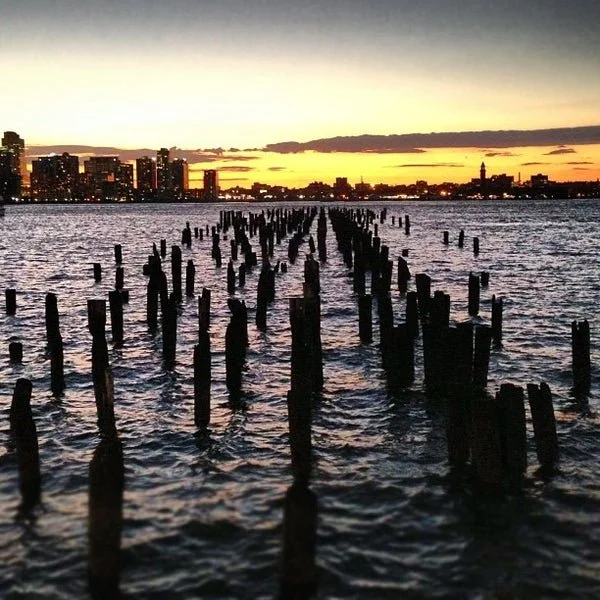
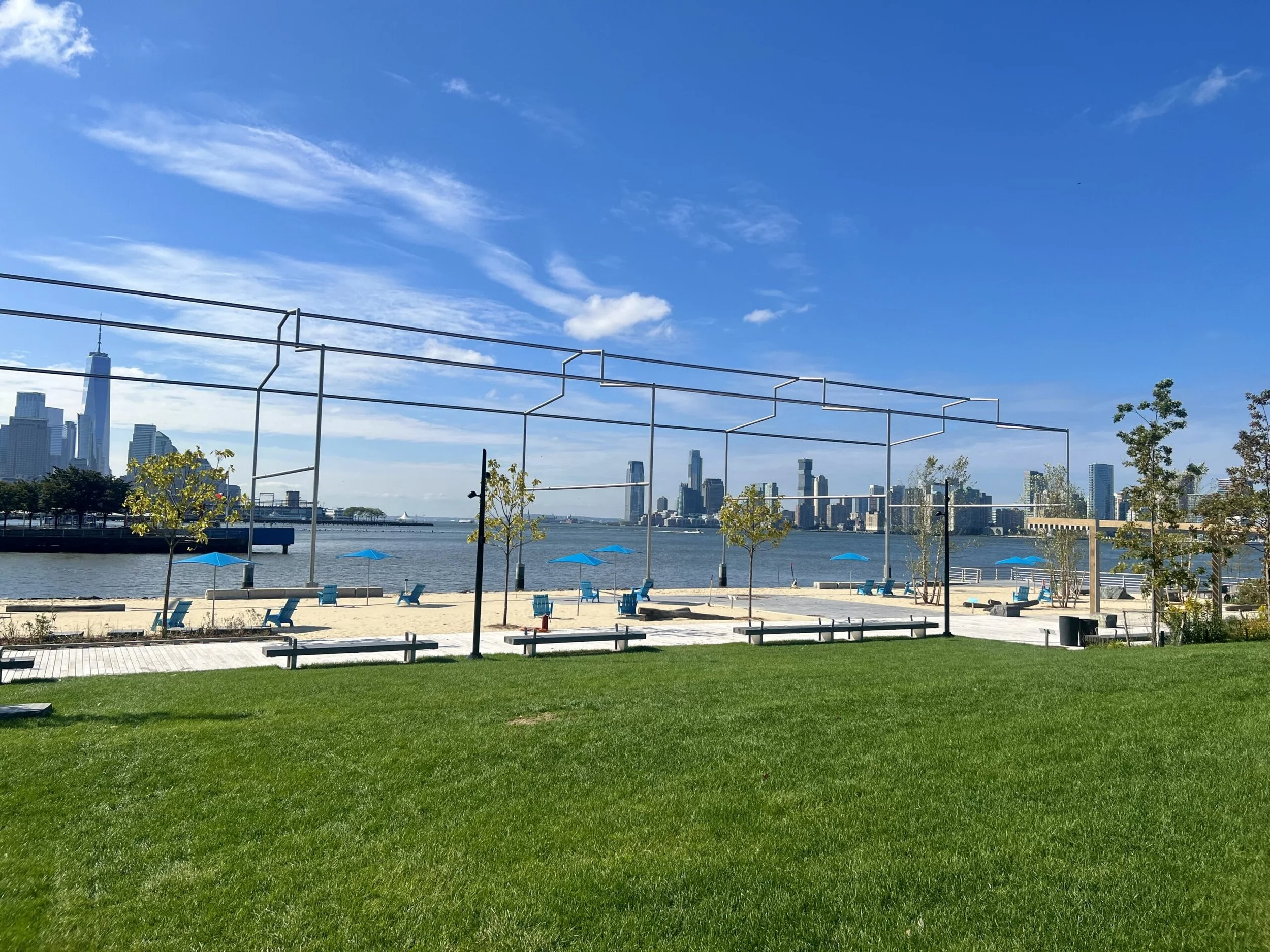
Today it is a feature of the shoreline, an abstract artwork with a viewing platform jutting out from the park’s walkway. These pile fields are clusters of aging wooden fragments that remain from bygone piers. The pile fields are some of the most notable elements of Hudson River Park’s Estuarine Sanctuary, creating dynamic habitat and supporting a complex food web.
pier 51 - fun for kids
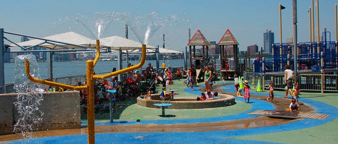
Just for families, the Pier 51 playground offers imaginative play with a nautical theme. Children especially love the expansive water and sand play areas.
Named as one of New York City’s five best playgrounds by CBS NEWS, this playground features climbing equipment and slides, water and sand play, a pretend boat hull and ample seating, all traversed by a “stream” containing bronze inlays of aquatic life. The Pier 51 play area is open all year but water features are turned off seasonally.
gansevoort peninsula
Gansevoort Peninsula — Hudson River Park
A small section of the landfill north of Gansevoort Street, the West Washington Market, was left after the city removed a section of landfill to construct Chelsea Piers and become what was known as the "Gansevoort Peninsula", later the location of a salt-storage facility of Department of Sanitation. The small space between Gansevoort Street and Bloomfield Street, and the approximate place where Thirteenth Avenue once ran, was used as a parking lot for garbage trucks.
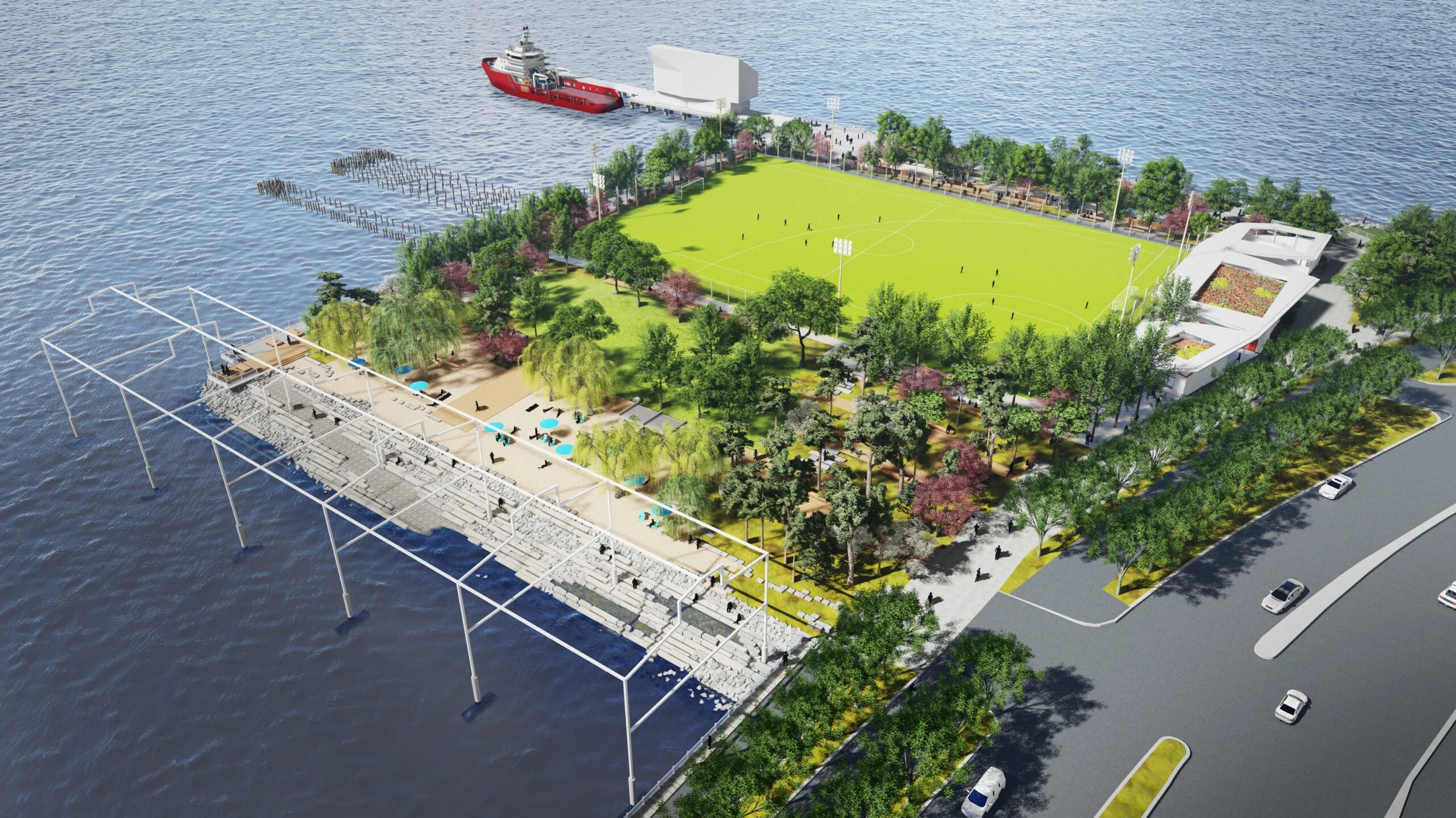
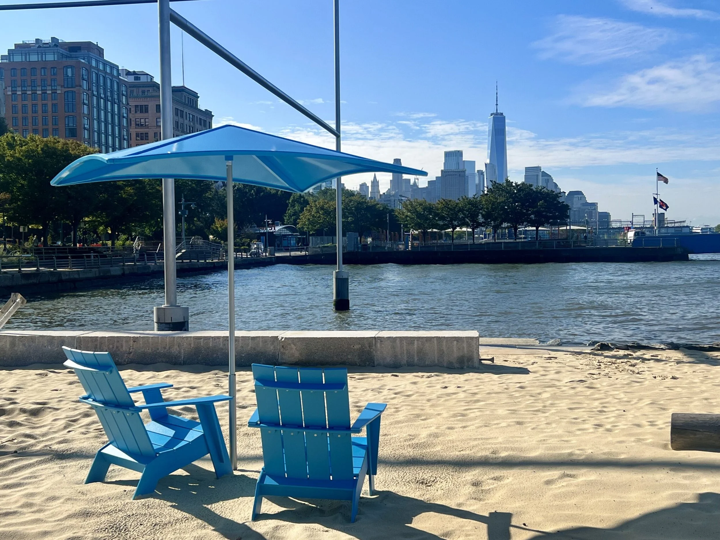
In 2016, the city began demolishing the Department of Sanitation building as part of a plan for the creation of a new public park on the land. The 5.5-acre (2.2 ha) park –was designed by James Corner, which also designed the High Line. The space also includes a public art project commissioned by the Whitney Museum, Day’s End, a monumental, site-specific sculpture by David Hammons, and Manhattan's first public beach.
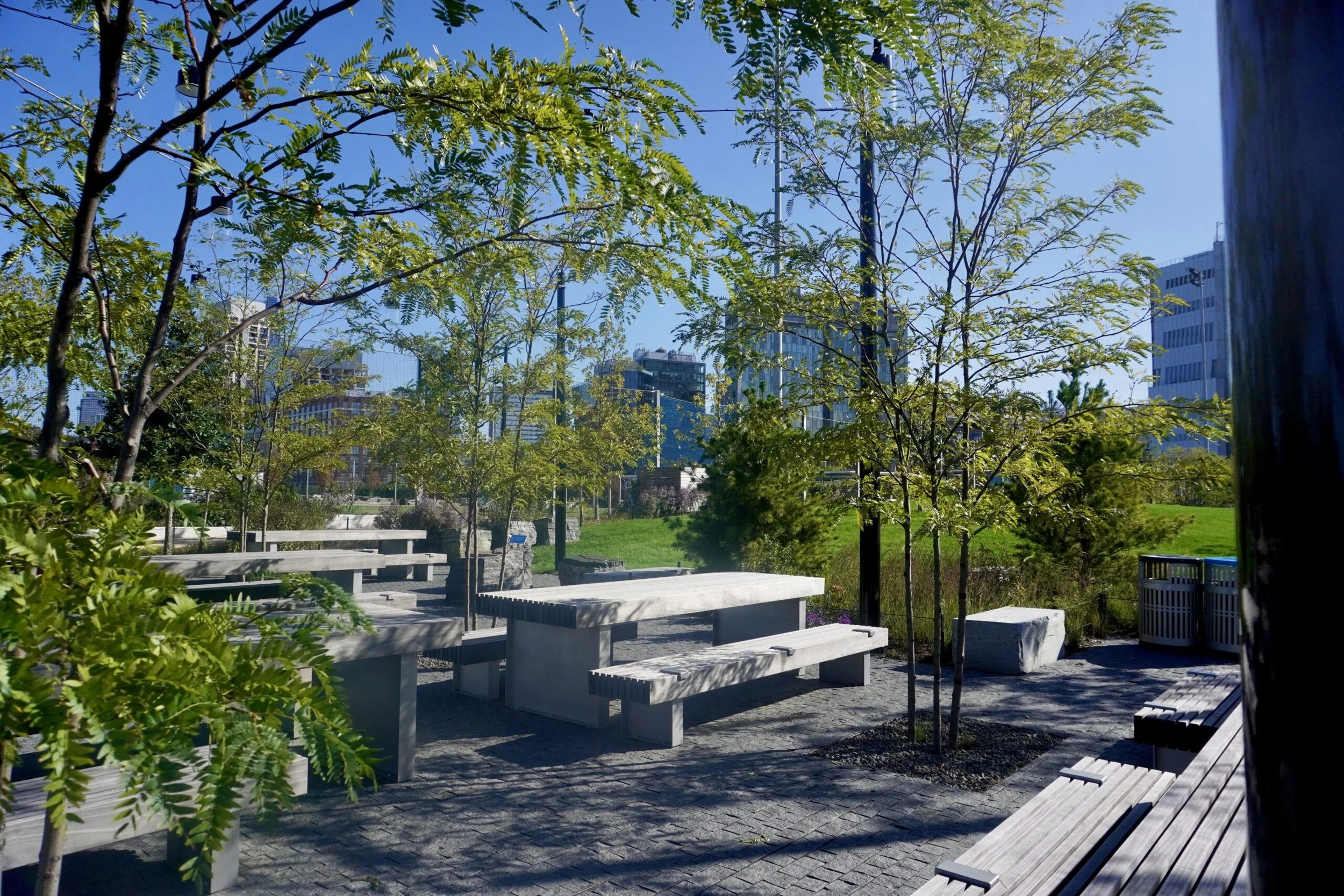
Opened in 2023, Gansevoort Peninsula is the largest stand-alone recreational space in Hudson River Park. Providing 5.5 acres, the $73 million park includes a beach with 1,200 short tons (1,100 long tons) of sand as well as a salt marsh. Its amenities include a sports field, sunning lawn, promenades, two dog runs, a picnic area, fitness equipment, and a beachfront kayak launch for non-motorized boats, although swimming and wading are not permitted.
pier 55 - little island
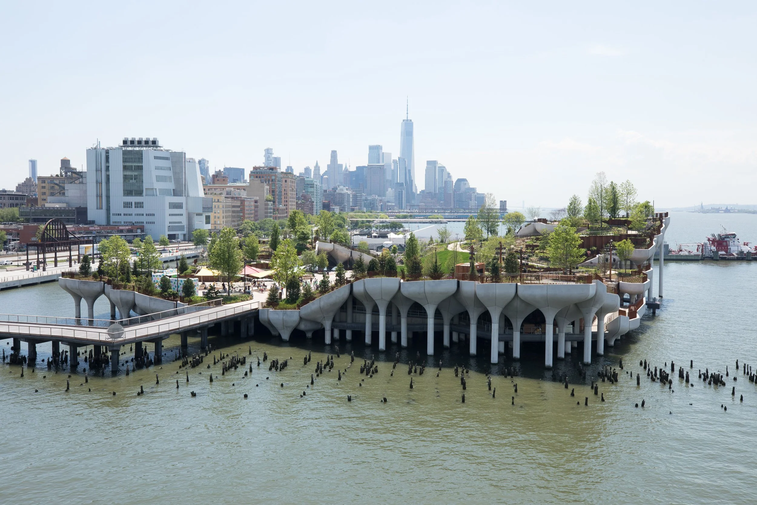
British starchitect Thomas Heatherwick has designed a fantastical park that perches above the Hudson River, sitting on support columns that look like mushrooms. The three-acre park was funded by billionaire Barry Diller and Diane Von Furstenberg and opened in 2021.
It is built on the remains of the once-crumbling Pier 54, which served as the port for the Cunard-White star line. Passengers that survived the sinking of the Titanic in 1912 docked on board the Carpithia at Pier 54, and it’s also where the doomed Lusitania—then the largest passenger ship in the world—took off for the first time.
Pier 55 is now home to walking paths, rolling hills, seating area, and open lawns with three performance spaces including a waterfront amphitheater.
pier 57 - public rooftop & food hall
When it opened in 1952, Pier 57 served as a shipping and cargo terminal for the Grace Company, but by the late 1960s, the company was wrapping up its shipping business, and the pier was sold to the city. The New York City Transit Authority ran its Hudson River Bus Depot from the terminal for three decades beginning in the 1970s, ending its use of the space in 2003.
The Pier remained vacant until 2009, when the Hudson River Park Trust redeveloped the site to become a “Superpier”.
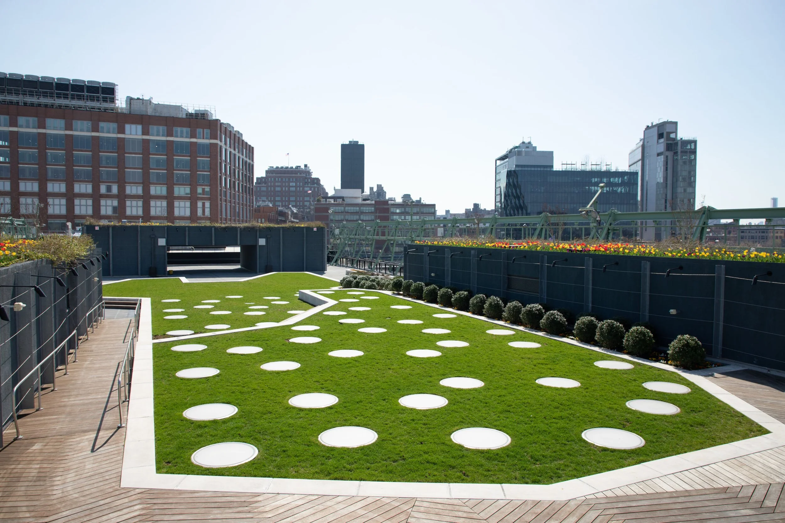
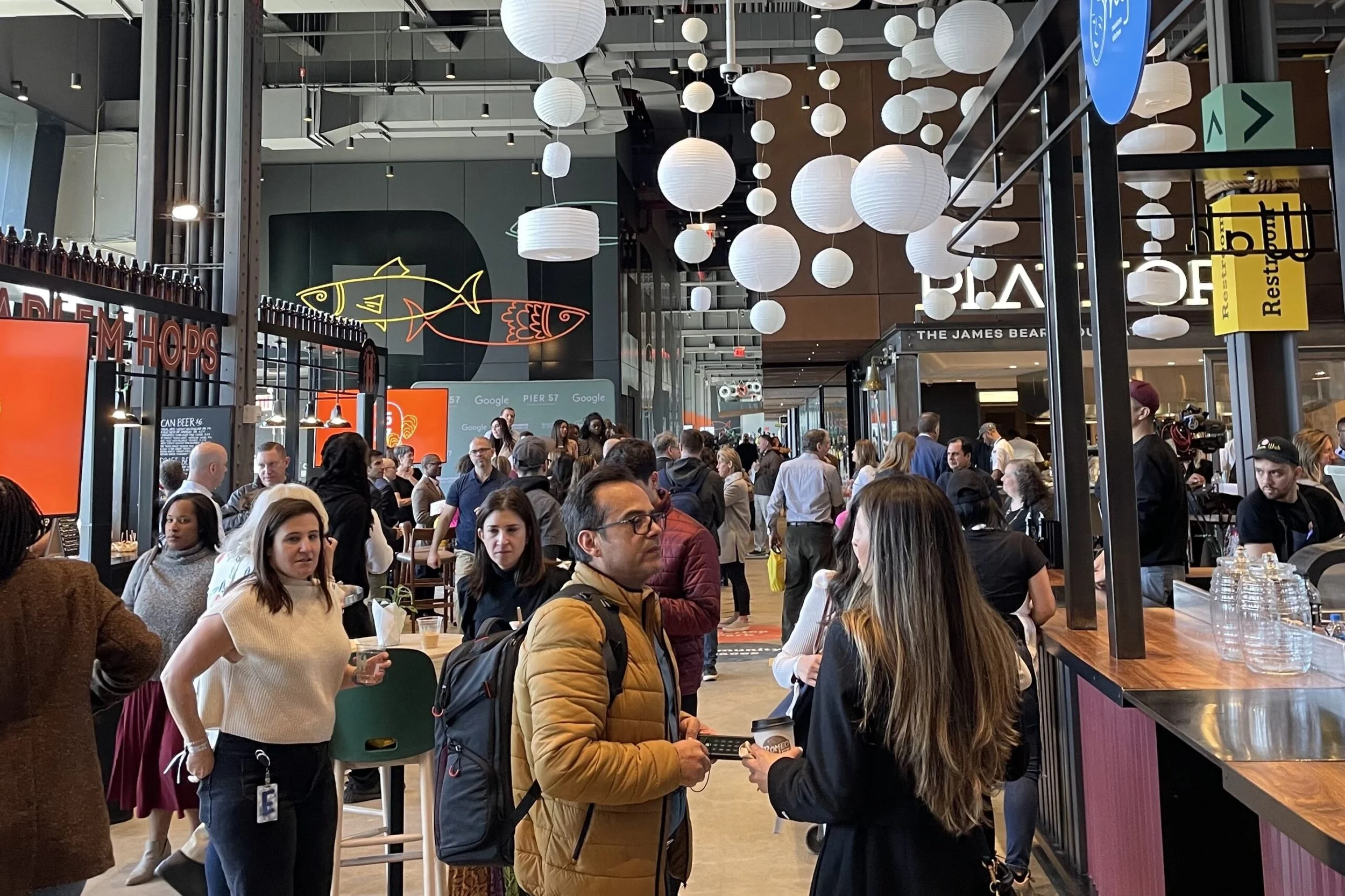
It is now home to another Google office and in terms of public space, has an outdoor rooftop terrace, cultural events, and a James Beard food hall along with retail and restaurants. It also hosts City Winery, community spaces and an interactive gallery and classroom focused on local wildlife and waterways.
piers 59, 60, 61 - chelsea piers
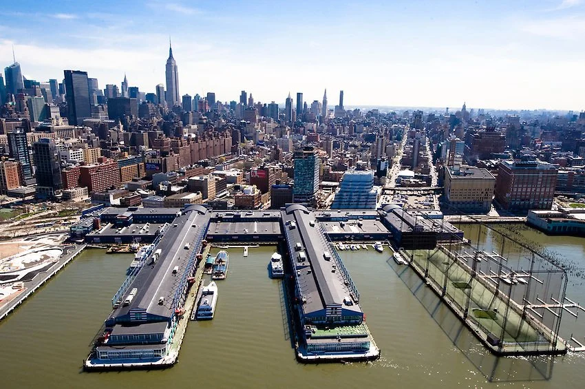
Chelsea Piers is a series of piers in Chelsea, on the West Side of Manhattan in New York City. Located to the west of the West Side Highway (Eleventh Avenue) and Hudson River Park and to the east of the Hudson River, they were originally a passenger ship terminal in the early 1900s that was used by the RMS Lusitania and was the destination of the RMS Carpathia after rescuing the survivors of the RMS Titanic. The piers replaced a variety of run-down waterfront structures with a row of grand buildings embellished with pink granite facades.
Interestingly, to accommodate the longer piers, the city took the unusual step of removing the section of landfill on which Thirteenth Avenue ran south of 22nd Street so the Chelsea Piers could be constructed to handle the liners.
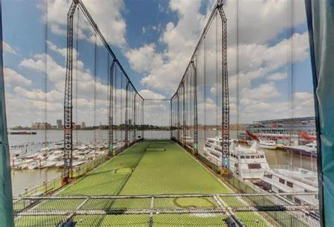
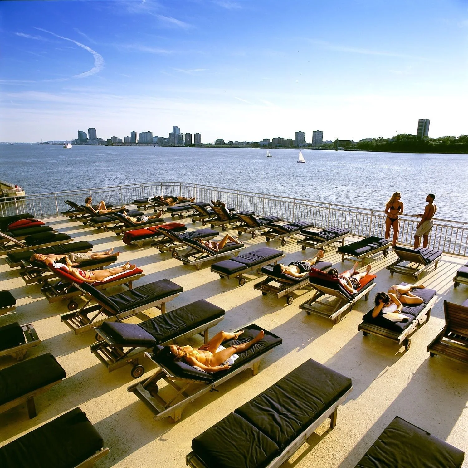
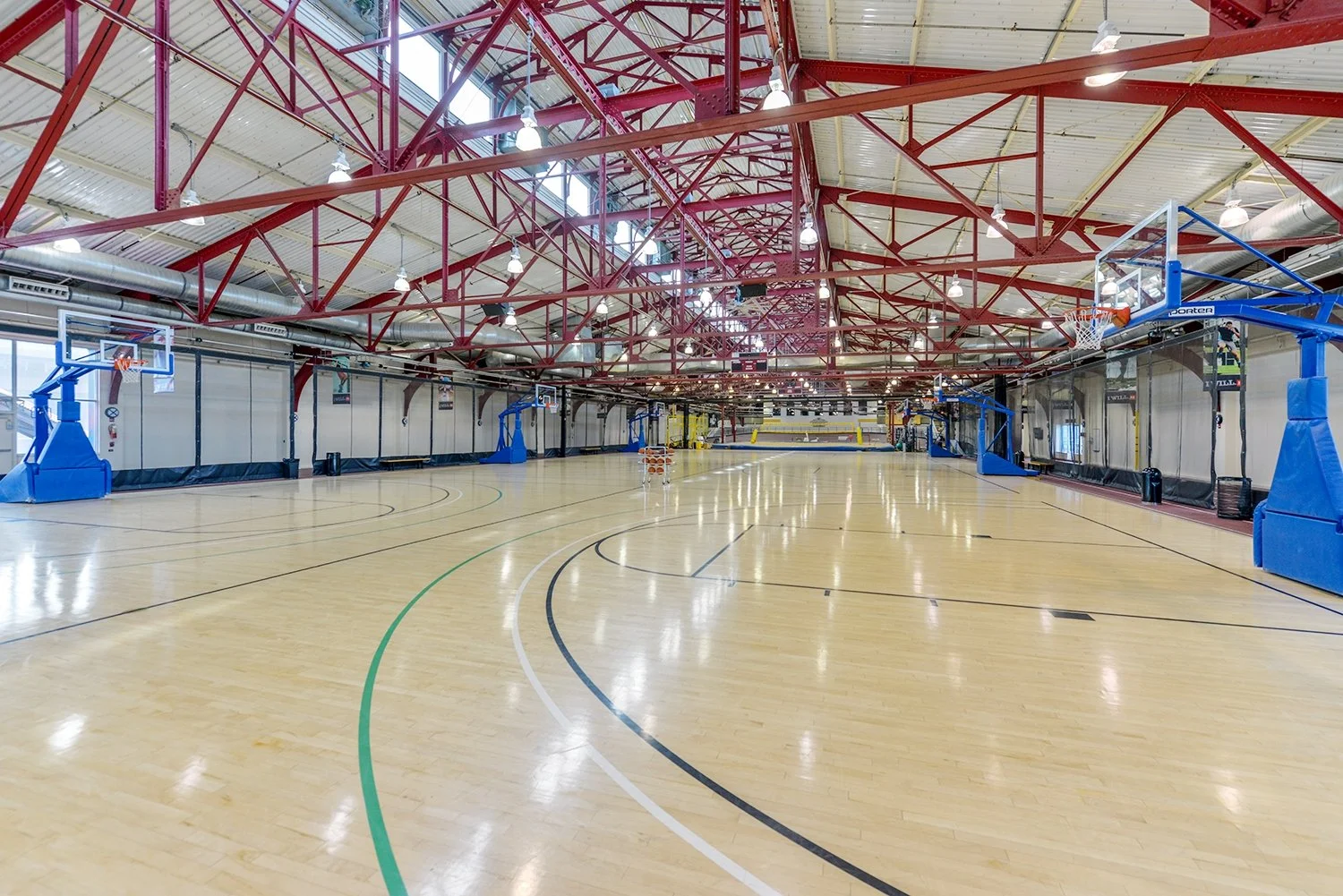
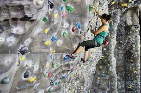
The piers are currently used by the Chelsea Piers Sports & Entertainment Complex. The Complex is a 28-acre waterfront sports village located between 17th and 23rd Streets along Manhattan's Hudson River. This privately financed project opened in 1995. The complex features the Golf Club, a multi-story driving range; the Field House, which contains numerous sports and training facilities; Sky Rink, which has two full-sized ice rinks; the Chelsea Piers Fitness health club; Bowlero at Chelsea Piers, a bowling alley; and Sunset Terrace, a venue that hosts weddings and other events. The complex also includes several event centers; the Studios film and television production facilities; and the Maritime Center marina for mooring private boats.

